
Garfield Heights Previous Residents by Era
Different sources answer different time periods for an address. The recorder supplies the recorded-instrument backbone from 1810 to the present. County Archives adds tax, map, and appraisal layers for older property questions. Dated directories and the released federal census add household evidence. Permit availability has no verified citywide year range, so ask the Building Department for a specific project or time window rather than assuming a complete online file.
| Address-history source | Local years covered | Where held | What it can show |
|---|---|---|---|
| Recorded documents | 1810 to present | Official Records Search and recorder counter | Instruments, parties, dates, and legal descriptions. |
| Tax records | Circa 1819-1986 | Cuyahoga County Archives | Owner, tax, and value trajectory. |
| Original maps | Circa 1860-1945 | Cuyahoga County Archives | Parcel, building, and owner-map context. |
| Appraisal cards | Circa 1935-1970 | Cuyahoga County Archives | Property and valuation-period context. |
| Cleveland City Directories | 1837-1972, not inclusive | Archives and CPL collections | Dated name, address, and street-guide context. |
| Garfield Heights directories | 1954-55, 1956-57, 1962 | CPL Center for Local and Global History | Local printed directory leads. |
| East Suburban Directory | Selected 1964-79 editions | CPL | Successor suburban-directory context. |
| Federal census | Released through 1950 | National Archives and library services | Household evidence at a census date. |
Begin with the source closest to the suspected period. A recent transfer calls for the parcel and recorder tools. A much older gap may call first for the Archives, where maps, tax material, and appraisal cards can test whether the physical parcel and the old address still line up.
Note: The eras overlap by design, so compare sources rather than treating any one date range as a complete history.
Follow a Cuyahoga Deed Chain Backward
The recorded deed chain answers who conveyed or acquired a defined land interest. It is the core of a Garfield Heights previous residents search, but it is not a household list. Start from the current parcel in MyPlace, preserve its Parcel ID and legal description, and then confirm every step in the document image at Cuyahoga Official Records Search. A same surname or familiar street number alone does not establish the next link.
- Find the parcel by City = Garfield Heights and address. Save the official street spelling, Parcel ID, legal-description clues, transfer information, and document-list connection.
- Search the Parcel ID with dashes, or a named grantee and a recorded-date range, in the recorder index. Open the image for the apparent purchase document.
- Read the grantee, grantor, instrument type, recorded date, document number, and legal description directly from the image.
- To move back one transfer, search the current grantor as a grantee in an earlier time range. Confirm the same parcel, lot, or legal description before adding it to the chain.
- Pause for an estate instrument, quitclaim, sheriff deed, correction, or subdivision change. If the legal description no longer resolves, use the recorder counter or Archives appointment.
Keep a simple source log with the document number, recorded date, parcel or legal-description match, and reason for accepting each link. That discipline avoids turning an address similarity into an asserted title history.
Set a Garfield Heights Parcel Baseline
MyPlace is useful because its parcel screen can bring together city or situs location, owner display, transfers, values, land, building information, permits, tax-by-year, and a document list. Use City, then Address, Owner, or Parcel mode to narrow the result. Click the correct Parcel ID and compare the selected map polygon with that record before taking the next step.
The portal's site or property address is not the same field as a mailing address. The latter is for correspondence and tax delivery and may be elsewhere. It should never be reported as a person's location without independent, lawful support. MyPlace is also a county convenience service rather than the official public record, which is why the document image remains part of this backward trail.
Garfield Heights Previous Residents Archives Fallback
Insider tip. A broken online address search is a reason to move to the County Archives, not to invent a missing owner or household. The Cuyahoga Archives property-research guide requires an appointment and asks researchers to bring a street address and or parcel number. It warns that street names, dimensions, and property descriptions can change. That is why the current Parcel ID and legal description should be saved before the older research begins.
The Archives property-research page describes the appointment-based route for historic parcel work.
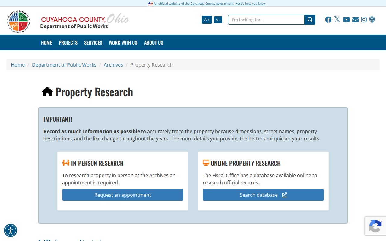
Archives holdings give the trail several tests: tax records from about 1819 to 1986, original maps from about 1860 to 1945, and appraisal cards from about 1935 to 1970. Those records can expose a change in value, a lot shape, or a period building context. They do not remove the need to match the same parcel or legal description.
Historic Maps for a Garfield Heights Address
Myth. A historical atlas is not automatically a fire-insurance map. The verified County Archives materials include Cuyahoga atlases for 1852, 1874, 1892, and 1903; suburb tax maps for 1860, 1870, 1880, and 1890; and original map volumes from about 1860 to 1945. A building outline can show that a structure stood on a parcel in the map's period, while a tax duplicate or deed can help identify its associated owner context.
No authoritative source in the research verified a Garfield Heights fire-insurance map year or repository. Do not relabel an atlas as one. Use the map date, the parcel or lot description, and a second source to explain what the image can support. Maps held from 1945 onward belong with the Fiscal Office Map Room rather than the Archives route.
Pair Directories With Census for Past Households
Owners are only one part of an address history. A dated city directory, suburban directory, street guide, or criss-cross volume can provide a printed name-and-address lead. A census supplies household evidence at its own enumeration date. For Garfield Heights previous residents, keep the edition year and address exactly as printed, then test that lead with the surrounding deed, tax, map, probate, obituary, or permit evidence.
- Set a time window from a transfer, appraisal card, map period, or another dated property clue.
- Read the available directory's alphabetical section and its street or householder section for the exact number.
- Record the full printed spelling, any visible notation, the edition year, page or image, and the address as printed.
- Compare the next available earlier or later edition instead of treating one listing as a continuous presence.
- Pair the address with the relevant released federal census, then test the transition in a dated official or archival property source.
Cleveland Public Library's digitized 1930 directory expressly lists Garfield Heights among the included suburbs. CPL also lists separate Garfield Heights directory holdings for 1954-55, 1956-57, and 1962, with selected East Suburban editions after that. The collections, their access routes, and their published limitations are covered in the Garfield Heights city directories.
Note: A directory publication date and its canvassing date can differ, so cite the edition rather than assuming a single calendar-day reading.
South Newburgh and Garfield Heights Continuity
A historic place-name search may need more than the current city name. The area was separated from Newburgh as South Newburgh in 1907 and was renamed or established as Garfield Heights in 1930, according to the Case Western Reserve Encyclopedia of Cleveland History. Older directory, map, parcel, and county sources can therefore use a South Newburgh, Newburgh, Cleveland, or broader suburban description where a modern-only search returns nothing.
The Encyclopedia of Cleveland History entry supplies the local place-name context for a past-residents search.
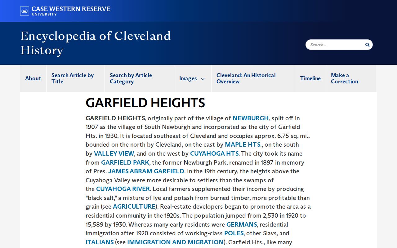
Use the older place label as an additional catalog and index term, not as a substitute for the parcel or legal description. The county's recorded-document collection reaches back to 1810, so an address now called Garfield Heights can lead to instruments filed under an earlier township or place description.
Garfield Heights Permit Dates and Projects
Municipal permit files can date work at an address, point to a project number, or show an applicant or contractor connection in the file. They do not establish a complete household history. The city links its CitizenServe portal from the permit system, but the research did not verify the live public search fields or available years. Start with a defined address, project type, or date range and use the Building Department or city public-record route if the online screen does not answer the question.
Garfield Heights' CitizenServe link is the city's stated online entry point for permit and inspection activity.
For a meaningful address history, place the permit alongside the deed chain and the dated property layers. A project record can support a work-date clue. It cannot fill in a missing period or identify everyone who was present at the address.
Keep Separate Garfield Heights Files Separate
Not every city record belongs in an address history. The Garfield Heights Records Bureau provides police and traffic-accident report copies at its window, but those files are event records, not a list of previous residents. A request should use event, date, address, or case information held by the requester. Protected investigative, victim, juvenile, and other material can be redacted.
The city's Copies of Reports page describes the Records Bureau copy channel.
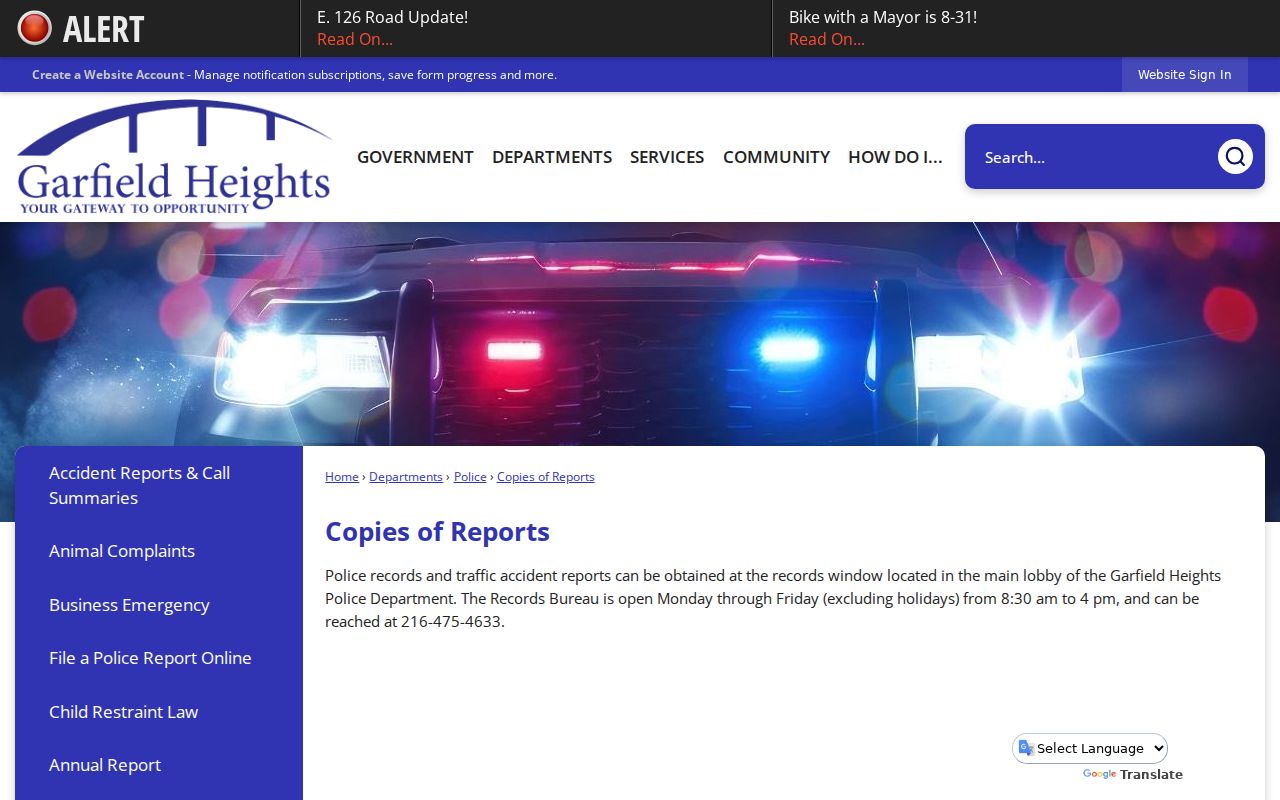
The window is at 5407 Turney Road and is listed as open weekdays, except holidays, from 8:30 a.m. to 4:00 p.m. A report is not a substitute for deed, directory, census, or archive evidence about an address, and it should not be used to make claims about a person's residence.
Garfield Heights Previous Residents Terms
These terms keep a backward trail readable and make clear why a street number alone can fail in older Cuyahoga records.
- Grantor
- The party conveying a recorded land interest in a document. In a typical transfer, this is the seller, but the instrument type must be read.
- Grantee
- The party acquiring the recorded interest. Searching a prior grantor as a grantee can help locate that person's earlier acquisition.
- Chain of title
- A sequence of recorded instruments linked by the same parcel, lot, or legal description, not merely by a shared name or street.
- Legal description
- The recorded land identifier, such as lot, subdivision, condominium, or other description. It survives an address or boundary change better than a civic number.
- Enumeration district
- The geographic area used for a federal census. It helps place a census household after the address has been established.
Lawful Garfield Heights House History
Previous residents research can support family history, estate questions, a personal house history, or a careful look at a recorded property trail. It should describe only what each dated source actually says. Do not infer a person's current location from an old directory, an old instrument, a correspondence field, or an unverified address match.
Some records are protected or redacted, including Safe at Home and confidential voter information, protected-worker home addresses, sealed court material, and private fields in public records. The County Archives is a good route for older property context, while the recorder or city office remains the place to verify a document held by that custodian.
Lawful use. Use Garfield Heights past-residents material for personal, lawful history and address research. Do not use a record to stalk, harass, intimidate, or harm anyone.
Note: When an address, parcel, or name cannot be reconciled, record the gap and ask the appropriate custodian for help.