
Garfield Heights ZIP Code Directory Coverage
Three ZIP codes are documented on Garfield Heights municipal sources: 44105, 44125, and 44128. The evidence establishes local use, not exclusive ZIP boundaries. City offices, the library branch, and the postal facility establish a strong civic-address connection for 44125. The city's Land Bank parcel list shows local parcels using 44105 and 44128. USPS must still return the delivery ZIP for each exact address.
| ZIP | Areas Covered | Post Office | Notes |
|---|---|---|---|
| 44125 | Garfield Heights civic-address use, including City Hall, Building Department, and library branch | USPS Garfield Heights facility, 12401 Rockside Rd, Cleveland, OH 44125-9998 | Its postal label does not prove that all 44125 addresses are inside city limits. |
| 44105 | Appears on City of Garfield Heights Land Bank parcels | Use USPS full-address lookup; no exact local boundary or station was verified | Municipal parcel use is documented, but not a citywide ZIP boundary. |
| 44128 | Appears on City of Garfield Heights Land Bank parcels | Use USPS full-address lookup; no exact local boundary or station was verified | Municipal parcel use is documented, but not a citywide ZIP boundary. |
The strongest statement for an address is narrow: USPS returns a ZIP, and MyPlace shows a city and parcel field. Neither part should be silently substituted for the other. The Census also cautions that ZCTAs are statistical approximations, not USPS delivery areas.
Verify a Garfield Heights ZIP Code Address
Use the USPS ZIP Code Lookup before searching local records. It is the authoritative delivery check in this source set and takes a full address to return postal information. Retain the returned formatting. Then use MyPlace with City set to Garfield Heights and the address or parcel to confirm city and property context. A postal city convention can cross a municipal line, so this two-source check is needed even when the ZIP looks familiar.
- Enter the complete delivery address in USPS ZIP Code Lookup and retain the returned postal format.
- Search MyPlace by City and Address, or by Parcel if an identifier is already known.
- Open the matching parcel record and keep the situs, separately labeled mailing address, and parcel ID distinct.
- Use the city map or county map to resolve municipal or ward context when an address is near an edge.
- Search Recorder records by parcel, address, or legal description only for a defined property question.
The Garfield Heights Map Portal source provides current city geography after the postal check.
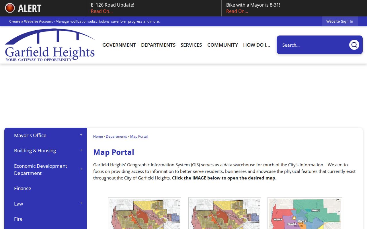
City zoning, ward, rubbish, and flood layers help orient an address, but they do not establish a delivery ZIP or a property owner.
Garfield Heights ZIP Code Directory in MyPlace
MyPlace is a property and parcel tool, not a standalone ZIP directory. Its public search screen displays a City choice and Owner, Parcel, and Address modes. The research did not verify a separate ZIP Code field, and a ZIP typed into an address string may or may not be parsed by the live application. Use the complete address and parcel instead of promising a ZIP-wide property search.
| City | Required municipal narrowing control. Select Garfield Heights for local scope. |
|---|---|
| Search By | Owner, Parcel, or Address. No standalone ZIP mode was displayed. |
| Search field | Enter the chosen owner, parcel, or address criterion. No ZIP syntax guide was captured. |
| View Map | Opens the spatial parcel view after a result. |
| Parcel result | Provides tabs for general information, transfers, values, building, permits, tax-by-year, and document list. |
The portal can show a ZIP as part of a returned property address, but that is a result detail, not a verified ZIP filter. Its data are a convenience compilation; use the Recorder or other originating office for official confirmation.
Note: Do not treat MyPlace's download-address control as a citywide ZIP export until the live scope and terms have been checked.
Garfield Heights ZIP Code Recorder Limits
Cuyahoga Official Records Search is strongest when a specific parcel or instrument is known. Its documented fields include party names, recorded or instrument date ranges, document number, Parcel ID, volume or page, property address, document-image phrase, and legal-description fields. No verified standalone ZIP filter was captured. An address string may lead to a record when it matches indexing or OCR, but the parcel and legal description are the safer identifiers for a property relationship.
The Official Records Search and its county public-record route are appropriate after a ZIP check has narrowed an exact address. Read the image, recorded date, document type, parties, and legal description before describing an instrument. A mailing address, map label, or street string alone does not establish a person's current location.
The Cuyahoga public-records FAQ source shows the county's broader access routes when the online index is not enough.
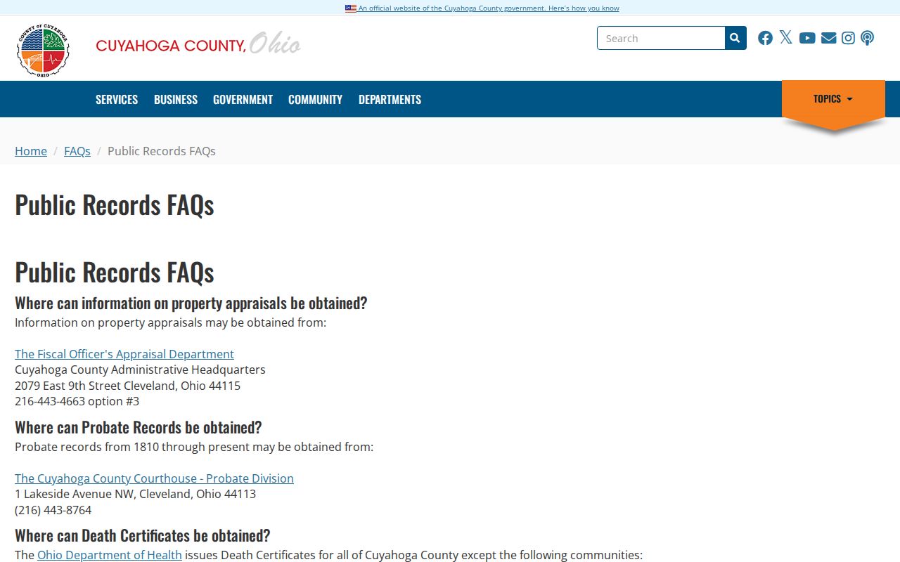
For a defined record that cannot be found online, use the appropriate county counter, custodian request, library, or archive channel rather than expanding a ZIP into a person list.
Garfield Heights ZIP Code Boundary Myth
Myth: a ZIP boundary is a city boundary. Fact: postal ZIP, municipal city line, tax parcel, ward, school district, and precinct are separate systems. A Garfield Heights parcel can use a broader Cleveland delivery convention, and a ZIP can serve addresses on both sides of a municipal line. The city source set supports the three local ZIP uses, but it does not provide precise delivery subarea boundaries for 44105 or 44128.
Check each layer. Verify delivery with USPS, city and parcel with MyPlace and city maps, then use the Recorder's parcel and legal-description fields for a recorded property question.
The Cuyahoga city and district maps source helps place ward and precinct geography beside, not inside, postal geography.
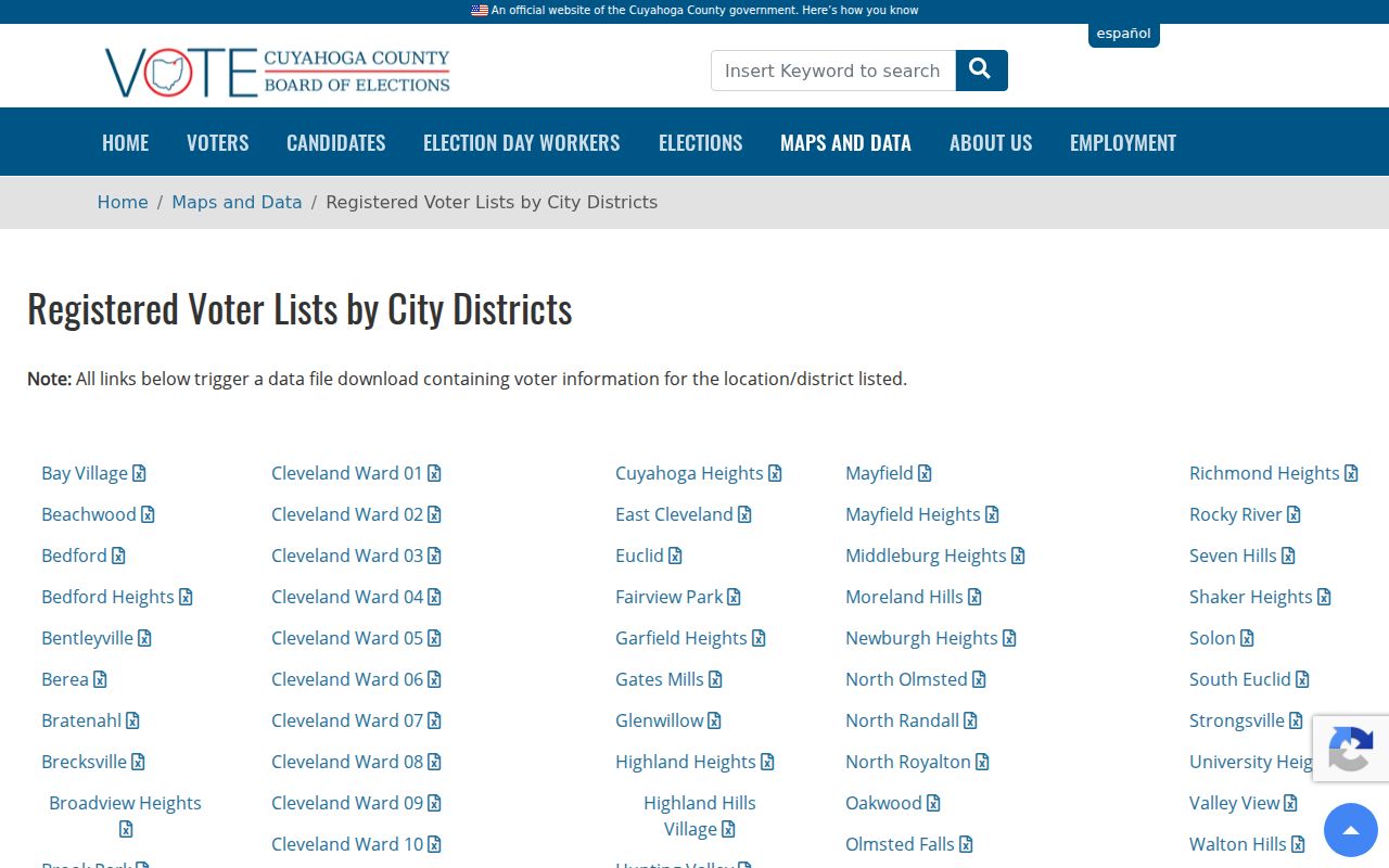
That map context is useful for civic orientation, while the USPS response remains the delivery-ZIP authority.
Garfield Heights ZIP Code and Voter Geography
Ohio's individual My Voter Information lookup requires first name, last name, and county. It is not a ZIP-wide browse tool. Cuyahoga's Board makes a city/district voter-list route available and has described a street-range guide that includes odd or even range, ward, precinct, ZIP, and district data. That product is a civic-geography channel with statutory exclusions, not a public roster for a postal area.
R.C. 3503.13 makes voter forms and database records public subject to exclusions such as protected identifiers, phone and email information, confidential registrations, protected-worker address redactions, and other limits. Voting history is not ballot choice. If a protected or redacted registration is involved, follow the Board's contact instructions rather than attempting a cross-reference.
The Ohio voter-record access law source records the statutory public and protected distinction.
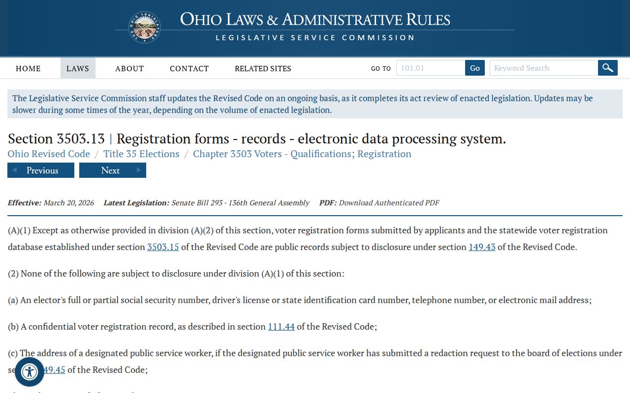
Use voter products for their published election and geography purpose, never to infer a complete set of people connected with a ZIP.
Garfield Heights ZIP Code Address Layers
Three address labels frequently appear in the local record trail. The situs or property address is the physical parcel location. A mailing address is where tax or correspondence is sent and may be elsewhere. The legal description identifies land through a lot, subdivision, section, condominium, or other recorded description and can survive a street-name or number change better than a civic address. USPS resolves delivery ZIP, while directories use a dated street line.
- ZIP versus ZIP+4
- The basic ZIP routes mail broadly; ZIP+4 adds a more specific delivery segment. Neither establishes municipal jurisdiction.
- PO-box ZIP
- A postal code used for post office boxes. The research did not verify a PO-box-only Garfield Heights ZIP.
- Unique ZIP
- A ZIP associated with one institution or high-volume destination. No unique Garfield Heights ZIP was verified here.
- Carrier route
- A postal delivery grouping. It is not a parcel, ward, or public resident list.
For a dated address clue, a library city directory, Archives map, tax record, or appraisal card may be more informative than a modern postal response. Use the edition year or map date as part of the finding.
Garfield Heights has no verified ZIP realignment year, citywide readdressing project, or postal-boundary product in the reviewed sources. That absence is useful. Do not fill it with a neighborhood boundary guessed from a map. When a modern street address does not match an older source, preserve the parcel ID or legal description, then ask County Archives to compare its historical tax records, original maps, or appraisal cards. Archives identifies tax material circa 1819-1986, maps circa 1860-1945, and appraisal cards circa 1935-1970 for this type of bridge. A historic directory and federal census release through 1950 can add a dated household layer without converting the ZIP into an identity claim.
Garfield Heights ZIP Code Record Boundaries
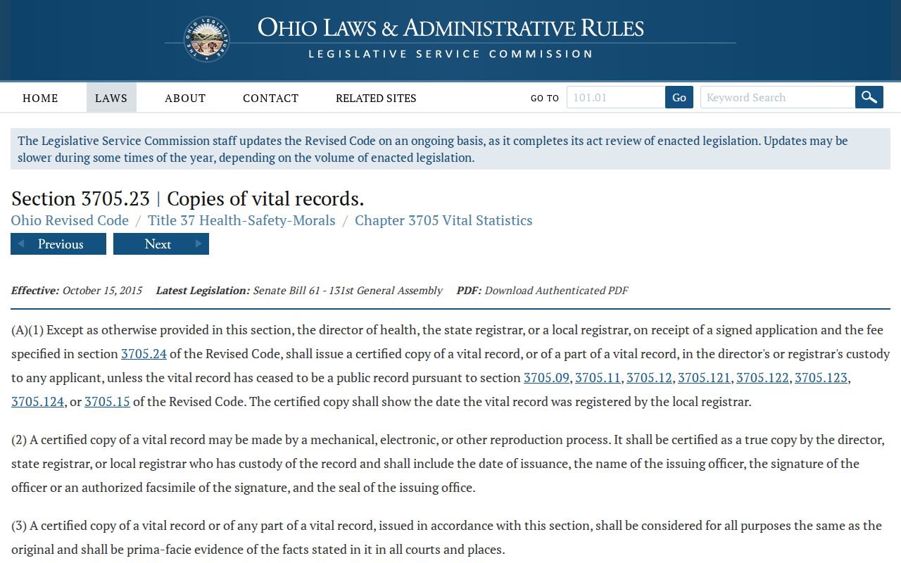
ZIP geography does not change the custodian for a vital record. Garfield Heights' local Vital Statistics department closed in 2009, and current birth and death requests route through the Cleveland or Ohio system under record-specific rules. R.C. 3705.23 uses a signed application and fee framework, while protected medical, adoption, paternity, amendment, and other record categories have separate limits. A ZIP is not an eligibility key for a certificate.
The Ohio vital-record access law source explains why a routine certified-copy request must be kept distinct from protected record categories.
The appropriate question is the event, date, and custodian, not the ZIP attached to an old or current address.
Once a ZIP has narrowed an exact street address, the detailed parcel and document route is available through Garfield Heights records by street. Keep that work address specific and date labeled.